
Maps make knowledge visible and connections easy to understand
Interactive maps and StoryMaps help communicate complex topics in a clear and engaging way:
history, geography, urban development, travel, language, culture and social change.
They combine places, time periods, images, texts and spatial relationships into learning experiences that spark curiosity and remain memorable.
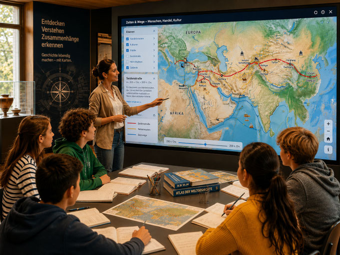
Map solutions for education
From topic to digital learning landscape
From curricula, exhibition ideas, archives or project outlines, we develop structured map-based learning formats: interactive teaching modules,
historical journeys through time, guided tours and map stations.
We organize content, select map layers, develop a clear narrative structure and prepare texts, images and sources in an accessible way.
The result: educational formats that can be used in the classroom, in museums, on screen or on the go.
Benefits
Why maps are so powerful in education
Many topics become easier to understand once they are seen spatially: where something happened, which routes people took, how borders emerged, how cities grew or how cultures spread.
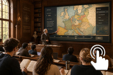
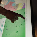
Interactive maps make these developments visible – step by step, with images, texts, stations and narratives.
Fields of application
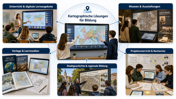
• Teaching & digital learning formats
Communicate history, geography, politics, language, culture and urban development in a clear and engaging way.
• Museums & exhibitions
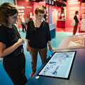
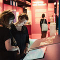
Tell stories about places, objects, biographies and historical developments through multimedia formats.
• Publishers & educational media
Maps, StoryMaps and digital companion materials for books, atlases, teaching materials and online resources.
• Urban history & regional education
Make urban development, historical places, routes, monuments and cultural landscapes visible.
• Project-based learning & research
Pupils and students can explore spatial questions, collect data and present their findings cartographically.
Examples
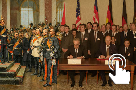
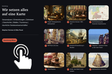
Current project
The StoryMap “On the Road to Freedom” for the Herder Institute received the 2025 “Zeitgeschichte digital” Award from the Leibniz Centre for Contemporary History.
Award-winning StoryMap
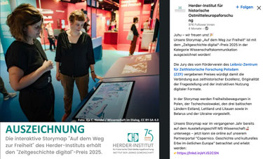
“Digital Contemporary History” Award 2025 by the Leibniz Centre for Contemporary History
On the Road to Freedom
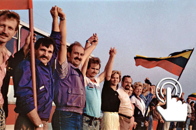
StoryMap on developments in East-Central Europe from 1989 to 1991

Are you planning a digital education project, an interactive learning map, a StoryMap or a map-based offer for teaching, museums, exhibitions or publishing?
Start with the free initial check.