
KALIMEDIA - the publisher for outstanding maps
Successfully we visualize and print outstanding and unusual map projects.
Philosophy
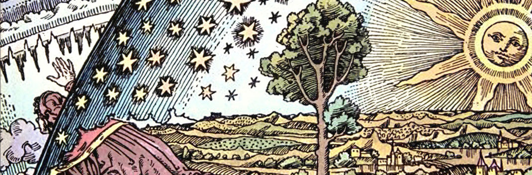
For centuries, cartography was closely linked to the visual arts: Painters such as Leonardo da Vinci and Dürer also created maps and, conversely, cartographers followed aesthetic principles related to those of veduta and landscape painting. But despite all their similarities, maps and paintings were subject to different paradigms even in the heyday of cartography in the 16th century. With the claim to objectivity that emerged in the 18th century, this difference intensified and reached its climax with the scientification of cartography in the 19th century. The map was now regarded as a neutral medium, bound solely to objective criteria, diametrically opposed to the work of art. That this neutrality is the effect of a complex rhetoric and that a map always contains implicit interpretations and evaluations, consequently (re)producing specific world views and asserting claims to power, has been demonstrated by critical geography in recent decades. Since then, the relationship between cartography and art has once again become a subject of reflection.
Commentary on the lecture series
"Kartographie zwischen Kunst und Wissenschaft" (Cartography between Art and Science)
at the Friedrich Schiller University of Jena, Winter Semester 2014
With today's interactive possibilities of cartography, science, art and journalism are merging into a completely new means of communication. The map in the background is still the tried and tested, precise and reliable means of orientation.
But the layers on top of it have it all - any content in the form of a dot, line or surface can be individually designed in shape and colour and enriched with any information, links and media. Historical maps can also be placed precisely on top of current maps.
ArcGis Online and Storymaps from ESRI are multimedia presentation frameworks for web maps. Here, texts, images, videos and audio documents can be combined with the respective maps to form a journal, a tour or a series. Even the most complex topics can be communicated easily and clearly with this tool. There are almost no limits to your imagination.
But take a look for yourself - our storymaps speak for themselves.
Stephan Hormes & Silke Peust
STORYMAPS.DE ist eine Internetseite von / is a website from / es un sitio web de:
KALIMEDIA • map design & map journalism • Diseño y periodismo de mapas
Stephan Hormes & Silke Peust • Calle Cerrito 663 bis · 11100
Montevideo/Uruguay
Mail: info@storymaps.de · Tel: ++49 177 728 27 16 (WhatsApp) · ++598 98 298 731
