

Maps that tell (hi)stories
Our motto: All events on earth have a geographic reference and can therefore be depicted on a map.
Even the most complex interdependencies (with historical roots) can be easily explained with storymaps *.
Time travel | reconstructions | language areas | developments | life paths | spatial identities
Based on geographic information systems and interactive web maps, we design and develop individual solutions for knowledge transfer, presentations, publications, lectures and analyses for research and educational institutions, public authorities and museums, among others.
Interactive examples
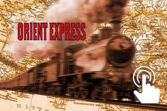
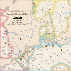
Orient Express
King of Trains - Train of Kings
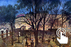
The Darn Graveyard
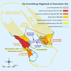
Outside, devoured, vanished

Cartographic Time Machine
with targeted accuracy of 10 m

Hannibal ad portas!
Rome vs. Carthage

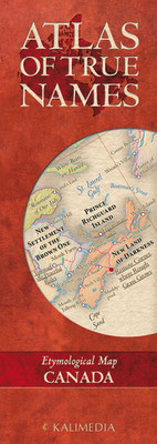
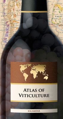
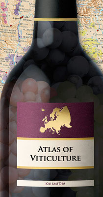
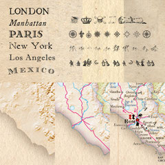
Atlas of True Names
An etymological map series

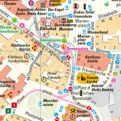
Cab to Kreuzberg A journey through the Berlin Wall era

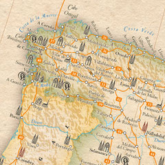
The Silk Road (project)
On the tracks of Marco Polo

The City as an Organism
Observations on Self-Similarity
Regardless of the project scope, we have developed concepts for fast and
cost-effective implementation. Get in touch with us.
Time schedule & costs
fast, cost-effective realisation
Concept "10 weeks"
max. processing time 10 weeks
"Four-digit" concept
1000 $ to max. 9999 $ + VAT


Special and unusual themes are a constant challenge for us to explore the boundaries of cartography.
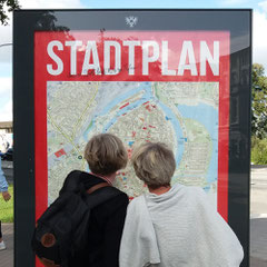
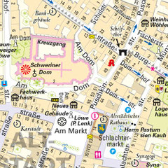
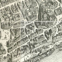
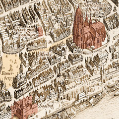
Highly accurate and detailed city maps

Exceptional topics


Contract works (selection)


Digital restoration and georeferencing of historical maps

PROFILE
Map Journalism
• Research
• Editorial
• Word
• Image
Geo Information Systems
• Geodata Management
• Georeferencing
• Attribution
• Data dimension: 0D - 4D
Web Mapping
• ESRI - ArcGis Online, Story Maps
• MaPublisher
• Geographic Imager
• QGis
Data quality
• Completeness, consistency
• positional accuracy
• temporal accuracy
• thematic accuracy
Storymaps
• Time travel, epochs, incidents
• Reconstructions, developments
• Life paths, tours
• Perspectives, places of memory
ESRI vs. free software
• incomparable possibilities
• no programming effort
• Comprehensive service & advice
• positive cost-benefit analysis
PRESS REVIEWS (selection)
In Place Names, Old Meanings Made New
New York Times
BBC World Radio
VIDEO: BBC News Television
Bizarre new atlas comes to the Great Land of the Tattooed
Daily Telegraph
The astonishing map that reveals the origins of place names
Daily Mail
Daily Mail
Ontario placenames: An etymological approach
Toronto Star
The U.S. With Literal Translations OF State Names
Huffington Post
Amazing 'Atlas of True Names' Is Our New Favourite Thing
Huffington Post
Re-Writing Mapped Space: Maps as Texts
Dan Brownstein
An Etymologist's View of the World
Spiegel Online International
Slate.com
MLive.com
Strange Maps
VIDEO: RTVE Televisión (España)
Así es el mapa mundi de los nombres verdaderos
ABC (España)
(* Storymaps are compilations of multimedia-enhanced interactive maps that can be played like a film
by scrolling at a speed of your choice.
They use a responsive web design that adapts to the size of the respective end device. Increasing screen size optimises
performance.)
STORYMAPS.DE ist eine Internetseite von / is a website from / es un sitio web de:
KALIMEDIA • map design & map journalism • Diseño y periodismo de mapas
Stephan Hormes & Silke Peust • Calle Cerrito 663 bis · 11100
Montevideo/Uruguay
Mail: info@storymaps.de · Tel: ++49 177 728 27 16 (WhatsApp) · ++598 98 298 731
