
New Life for Old Maps
Digital Restoration • Georeferencing • Interactive Embedding & Enhancement
A lecture by Stephan Hormes, Lübeck on October 10th, during the IMCoS-Symposium in Hamburg 2017
Who we are:
Kalimedia - the publisher for outstanding maps
Kalimedia is the only publishing company in Germany for outstanding and unusual maps.
For more than 15 years we publish maps about special topics like for example
etymology, proverbs, pilgrimage, beer, wine, the Hanseatic League and last but not least
an atlas about Goethe and his itineraries.
Our bestseller is the „Atlas of True Names“, an etymological map with a German and English edition.
Once the geographical names have been taken back to their etymological roots
and translated into English, the World appears like a strange, romantic continent.
Furthermore we have produced a map about the Hanseatic League, Pilgrim Maps, an Atlas of Proverbial Place Names and the Goethe-Atlas which was mentioned before.
How we work:


But anyway, we are still enthusiastic for old maps.
As a window to the past they may have great stories to tell.
Considering the value of historical maps, the papers sensitivity and the limited information options
of a map print we asked ourselves how we could elicit their secrets and stories as careful as possible.
In the following we present a series of methods to breath new life into old maps.
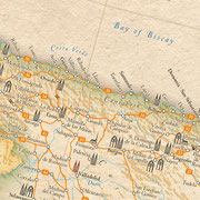
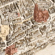
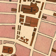
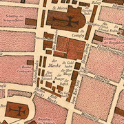
Digital restoration of historical maps
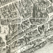

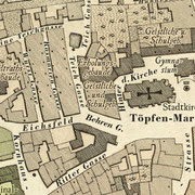


It’s obviously something completely different holding an original map in one’s hand,
touching the paper and thinking about who else might have done this before
- than handling with simple image files.
However, the benefits of digital processing, as we shall see, can not be denied.
Any digital improvement starts with a restoration of a high resolution scan of the original in Photoshop.
Even slips and inaccuracies of the cartographer, respectively the colorist, can be amended,
so the revised map seems to appear almost perfect.
Blotches, fissures or cuts do not cause a problem either.
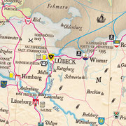
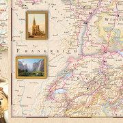
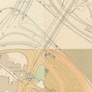
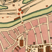
Georeferencing


Old maps are excerpts of bygone realities.
However the liability of a universal map projection has only been evolved slowly over the centuries.
Therefore its a special skill to project old map treasures by the way of a manual procedure into todays reality.
A reference map in Pseudo Mercator projection will be placed over our restored map.
The next step is to rectify or to dissect (if necessary) the restored map, until both match exactly.
If the map wasn’t orientated northwards this often requires the erasure and new composition of all fonts
to avoid tilting or upside down map entries.
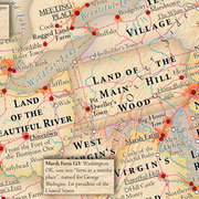
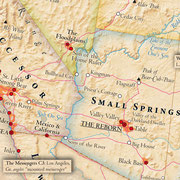
Map Design in Ancient Style
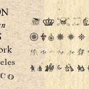


Furthermore it‘s possible to design modern and modifiable maps in an ancient style.
This succeeds very well by using scans of hand-made papers, historical computer fonts and dingbats.
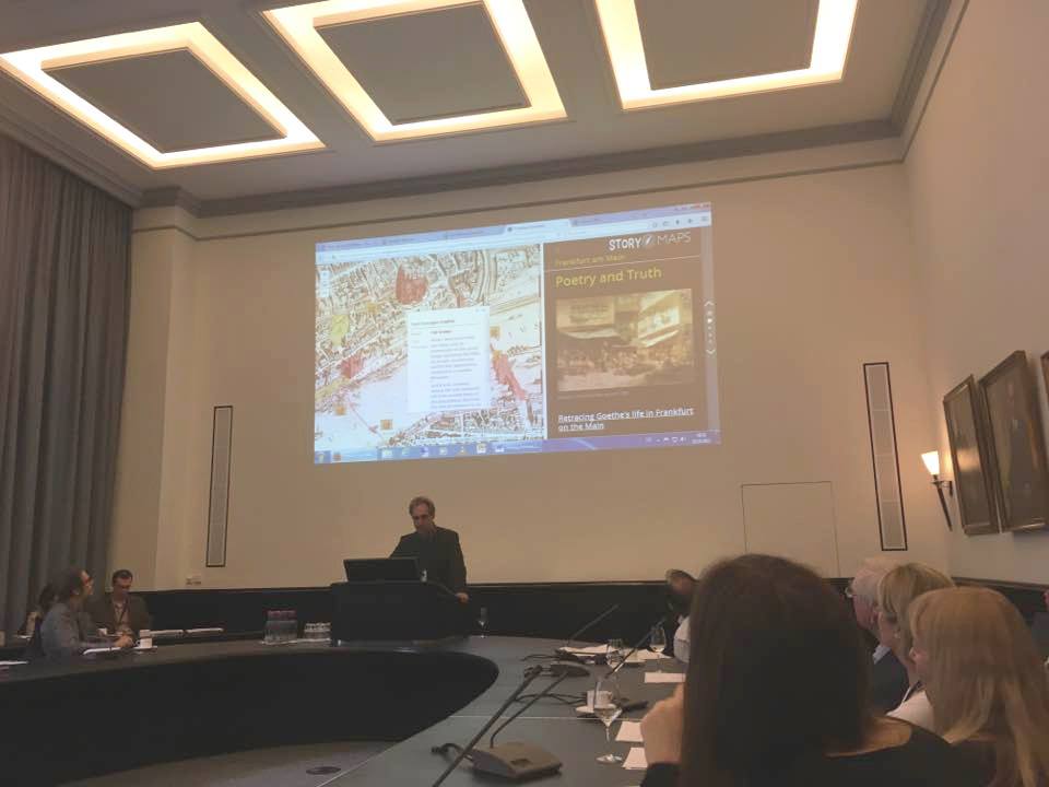
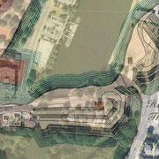
Interactive Embedding & Enhancement
As soon as the historical map is available as a restored and georeferenced image file,
many possibilities arise both to enhance or present it as an interactive story map.
In this situation, cartography, science and journalism merge into a new kind of communication tool.
Conclusion:
By applying this procedure, we have created, if we may say so, a special kind of map avatar
in imaginative coexistence with the original.
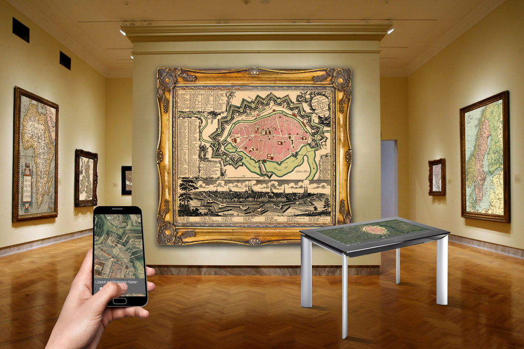
Map Gallery with Touch Table and Mobile Device
Montage: Kalimedia / Picture Credit: © wallpaperswide.com
STORYMAPS.DE ist eine Internetseite von / is a website from / es un sitio web de:
KALIMEDIA • map design & map journalism • Diseño y periodismo de mapas
Stephan Hormes & Silke Peust • Calle Cerrito 663 bis · 11100
Montevideo/Uruguay
Mail: info@storymaps.de · Tel: ++49 177 728 27 16 (WhatsApp) · ++598 98 298 731
